
California is famous for earthquakes, drought, and wildfire. Still, scientists have spent years warning about another disaster capable of producing even larger economic losses: a prolonged sequence of powerful winter storms that causes catastrophic flooding.
The U.S. Geological Survey’s ARkStorm scenario shows what such an event could look like in modern California. Its modeling found that a severe storm sequence could flood thousands of square miles, force roughly 1.5 million people to evacuate, and cause about $725 billion in property damage and business disruption in 2010 dollars.
This is not a prediction that a megaflood is imminent. ARkStorm is a disaster-planning scenario built around a scientifically plausible extreme-storm sequence, while recent research suggests that climate change is making events of this scale more likely.
Atmospheric rivers could drive the disaster
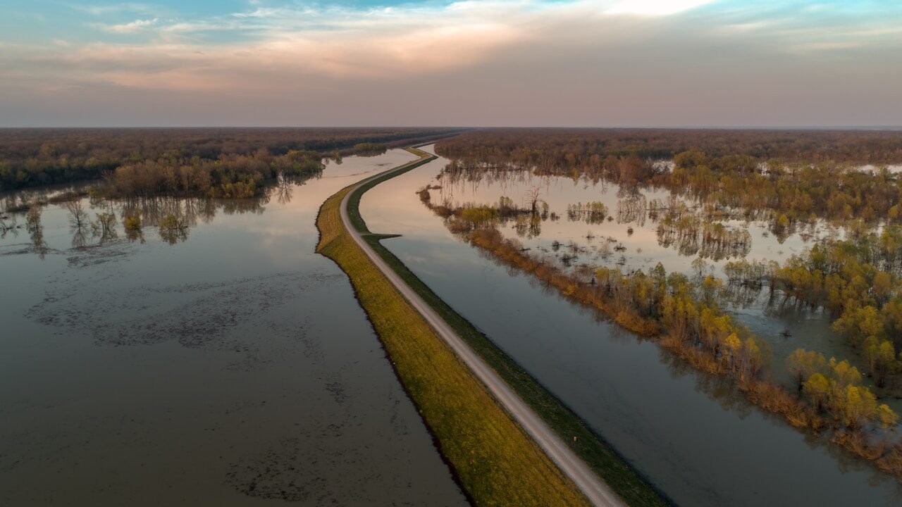
Atmospheric rivers are long, narrow corridors in the atmosphere that transport huge amounts of water vapor. California depends on them for much of its winter precipitation, but the strongest events can also produce damaging floods.
A megaflood would require more than one powerful storm. The greater concern is a prolonged sequence of atmospheric rivers repeatedly hitting California before rivers, reservoirs, and saturated ground have enough time to recover.
The 2022 ARkStorm 2.0 research specifically examined extreme storm sequences lasting about 30 days because sustained precipitation creates very different risks from a single short-lived storm.
California has experienced this before
The Great Flood of 1861–1862 provides the clearest historical warning. A succession of intense winter storms struck California for weeks, producing widespread flooding across much of the state.
Parts of the Central Valley became an enormous temporary lake. Sacramento and numerous other communities were flooded, agricultural losses were severe,e and the disaster damaged a major share of California’s property and livestock.
The exact dimensions and historical loss estimates vary among accounts, so descriptions such as a precisely 300-mile-long inland sea should be treated as approximate rather than as a modern surveyed measurement.
ARkStorm models a modern catastrophe
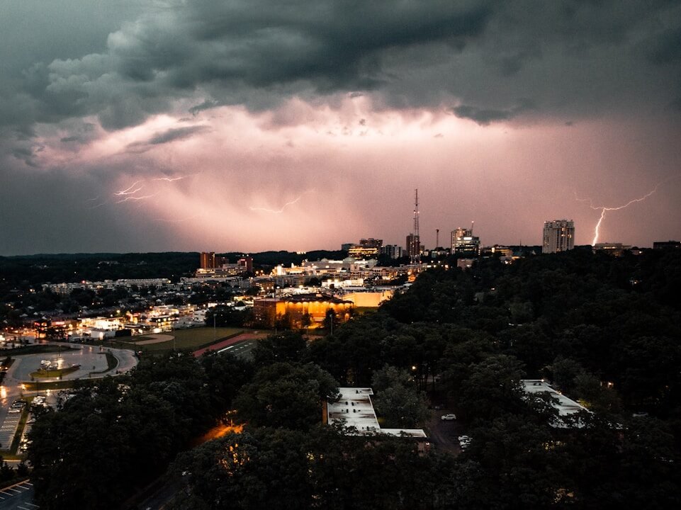
USGS developed the original ARkStorm scenario to examine what a severe, prolonged California storm might do to today’s population and infrastructure.
The scenario estimated nearly $400 billion in direct property losses and another $325 billion in business-interruption losses. Around 1.5 million people could require evacuation, while some flooded areas could experience water depths of roughly 10 to 20 feet.
Roads, utilities, water systems, and other critical infrastructure could take weeks or months to restore fully.
The Central Valley faces enormous exposure
The Sacramento and San Joaquin valleys are especially vulnerable because broad areas of relatively flat land depend on levees, reservoirs, bypasses, and other flood-control infrastructure.
That vulnerability also carries national consequences. USGS says the Central Valley produces about one-quarter of the nation’s food and roughly 40% of its fruits, nuts, and other table foods. Around 75% of California’s irrigated land is located there.
A prolonged flood could therefore damage crops, equipment, roads, warehouses, and processing facilities while interrupting planting and harvesting long after the water receded.
Climate change is increasing the odds
The newer ARkStorm 2.0 research found that human-caused climate change has already substantially increased the likelihood of an extreme California storm sequence capable of producing a megaflood.
Researchers estimated that the annual likelihood of an event comparable to their historical ARkStorm scenario had increased about 105% relative to 1920 conditions by 2022. In simpler terms, their climate model analysis indicated that the risk had roughly doubled.
The study also found that continued warming could produce much larger increases later this century.
Warmer storms can produce more runoff

Climate change affects flood risk through more than heavier precipitation.
Higher temperatures raise snow levels in California’s mountains. That means more precipitation can fall immediately as rain rather than accumulating as snowpack and releasing gradually later.
In the warmer ARkStorm 2.0 scenario, Sierra Nevada runoff was 200% to 400% greater than historical values because precipitation intensified while a smaller share fell as snow.
Researchers described this combination as particularly dangerous because both the amount of water arriving and the fraction running quickly into rivers can increase together.
Flood defenses reduce but cannot erase risk
California has an extensive system of reservoirs, levees, flood bypasses, and emergency-management plans that did not exist during the 1861–1862 disaster.
Those systems significantly reduce everyday flood risk, but ARkStorm was designed specifically to explore an event severe enough to overwhelm infrastructure in multiple regions at once.
USGS modeling found that flooding could extend beyond the Central Valley to the San Francisco Bay shoreline, Southern California, and other river and coastal communities.
That makes coordinated reservoir operations, evacuation planning, and warnings critical parts of preparing for an extreme event.
ARkStorm is a scenario, not a countdown
Claims that California’s next megaflood is simply a matter of being “overdue” need some caution.
Geological and historical evidence show that extremely large floods have occurred repeatedly, and research from 2022 indicates that warming is making severe storm sequences more likely. But scientists cannot provide a reliable date for the next one.
ARkStorm is valuable precisely because it allows governments to prepare for a realistic worst-case disaster without pretending to know when it will occur.
TL;DR
- California faces a scientifically documented risk from prolonged sequences of extreme winter storms.
- The 1861–1862 flood demonstrates that catastrophic statewide flooding has happened before.
- USGS’s ARkStorm scenario estimates roughly 1.5 million people could require evacuation.
- The original scenario estimated about $725 billion in property and business losses in 2010 dollars.
- Floodwater could reach depths of roughly 10 to 20 feet in some modeled areas.
- The Central Valley is especially important because it produces about one-quarter of the nation’s food.
- A 2022 study found climate change had roughly doubled the modeled likelihood of an ARkStorm-scale event compared with 1920 conditions.
- ARkStorm is a preparedness scenario, not a prediction that a megaflood will occur on a particular date.