
St. Thomas looks like a desert ruin today, but its broken foundations once sat beneath more than 60 feet of Lake Mead’s water.
The Nevada community was abandoned as Hoover Dam transformed the Colorado River and created the nation’s largest reservoir by capacity. Decades later, declining water levels exposed streets, stairs, foundations, and other traces of the former town.
St. Thomas has remained visible since emerging again in the early 2000s. Its ruins now offer visitors a rare connection to Nevada’s settlement history while also showing how dramatically conditions across the Colorado River Basin have changed.
St. Thomas began as a pioneer settlement
Mormon pioneers established St. Thomas in 1865 near the Muddy and Virgin rivers in southern Nevada.
The settlers originally believed the community was located in Utah Territory. After a survey placed the area in Nevada, many residents left rather than pay back taxes demanded by the state.
New families began arriving during the 1880s because the nearby rivers and fertile soil supported farming. St. Thomas eventually became an established community with homes, farms, stores, a school, a church, and other businesses.
The town became an important desert stop
St. Thomas grew partly because of its location along the Arrowhead Trail between Salt Lake City and Los Angeles.
At its peak, the community had several hundred residents. Travelers could stop for food, supplies, repairs, and lodging before continuing through the desert.
Residents lacked many modern conveniences, but the town developed businesses and community institutions suited to an isolated farming settlement. Remains associated with stores, homes, a hotel, and the school can still be identified through historic records and National Park Service materials.
Hoover Dam sealed the town’s fate
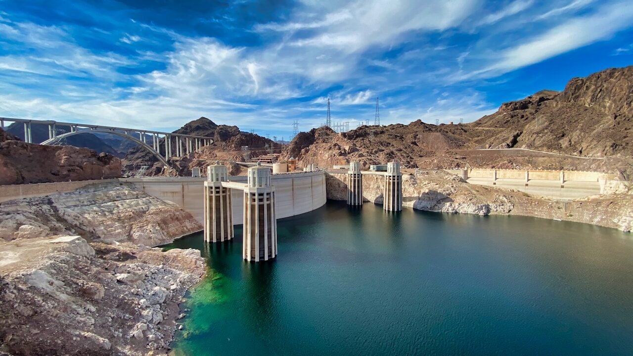
President Calvin Coolidge signed the Boulder Canyon Project Act in 1928, authorizing construction of what was then known as Boulder Dam.
The massive project created Lake Mead behind the dam, placing St. Thomas within the area expected to be flooded. Residents sold their land, moved buildings or belongings, and relocated as the water approached.
The community’s cemetery was moved to nearby Overton. On June 11, 1938, Hugh Lord became the last known resident to leave when he rowed away after water reached his property.
Lake Mead buried the community
As Lake Mead filled, the water eventually rose more than 60 feet above the town’s tallest remaining structure.
Homes, businesses, roads, and public buildings disappeared beneath the reservoir. Wooden structures had largely been removed or dismantled, but concrete foundations, cisterns, steps, and other durable features remained on the lakebed.
For decades, most visitors saw no sign that a settled community had once occupied the area. St. Thomas became one of several historic and archaeological sites affected by the creation of Lake Mead.
The ruins surfaced more than once
St. Thomas did not remain continuously underwater after Lake Mead formed.
Declining water levels exposed parts of the site during earlier dry periods, allowing former residents to return for reunions. The ruins later disappeared again when reservoir levels recovered.
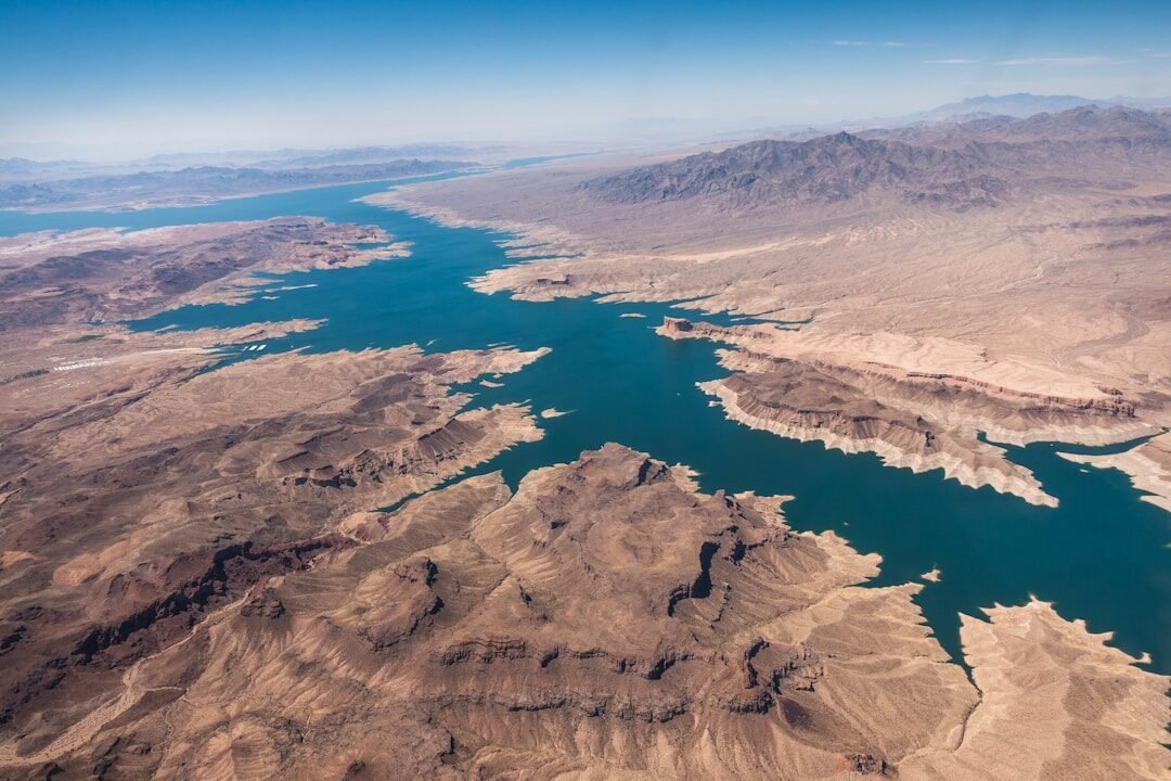
The town emerged more fully in 2002 as prolonged drought and heavy demand reduced Lake Mead’s water level. It has remained exposed since then, allowing visitors to walk through portions of the former settlement rather than viewing it from a boat or shoreline.
Lake Mead remains under pressure
Lake Mead’s elevation ended June 2026 at about 1,044.6 feet above sea level, according to Bureau of Reclamation records. That was lower than the June 2025 level but not an all-time record low.
The reservoir remained in a shortage condition due to drought, warming temperatures, and continued river flows and water use affecting the Colorado River system. Its elevation was still well above the roughly 950-foot level considered necessary for effective power generation at Hoover Dam.
Lower water levels reduce the amount of pressure available to move water through the dam’s turbines, limiting electricity production even before generation becomes impossible.
Visitors can walk through the ruins
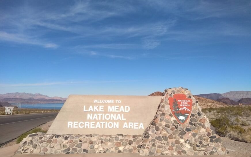
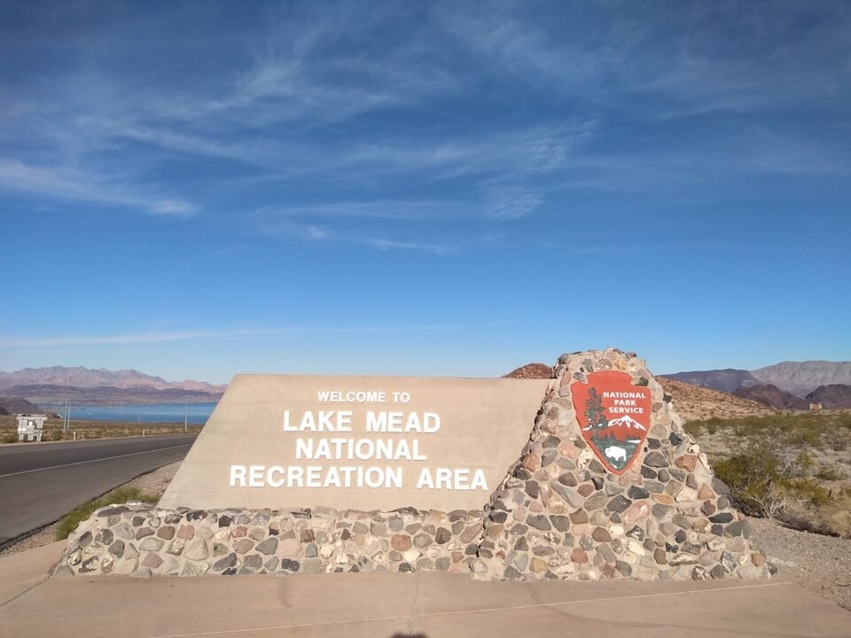
St. Thomas is located in the northern part of Lake Mead National Recreation Area near Overton, Nevada.
The National Park Service provides access through the St. Thomas Trail. Visitors can see concrete foundations, stairways, cisterns, streets, and other remains, although the original wooden buildings are gone.
The access road can be rough, particularly for low-clearance vehicles. The exposed site can also be extremely hot; hikers should carry water, use sun protection, wear sturdy, closed-toe shoes, and avoid disturbing historic materials.
The town connects history with water concerns
St. Thomas is more than an unusual ghost town. Its disappearance and return reflect 2 major chapters in the American West.
The first was the construction of the Hoover Dam, which brought water storage, flood control, and electricity while permanently changing communities and landscapes. The second is the long decline of Lake Mead as the Colorado River is asked to support growing cities, farms, tribal communities, industries, and ecosystems.
The exposed ruins do not prove that Lake Mead will disappear. They do offer a visible reminder that reservoir levels can reshape both the region’s future and the remains of its past.
TL;DR
- Mormon settlers established St. Thomas in southern Nevada in 1865.
- The community became a farming town and a stopping point on the route between Los Angeles and Salt Lake City.
- The construction of the Hoover Dam caused Lake Mead to flood the town.
- The last resident left St. Thomas by boat on June 11, 1938.
- Water eventually rose more than 60 feet above the town’s remaining structures.
- The ruins emerged again in 2002 and have remained exposed.
- Visitors can reach the site through Lake Mead National Recreation Area’s St. Thomas Trail.