

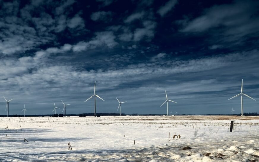
The United States could be heading into an unusual winter as a rapidly strengthening El Niño takes center stage. Forecasters expect the climate pattern to reach its strongest point during winter, when its influence on weather across the country is typically most noticeable.
The developing event is unusual because forecasts indicate it could become one of the strongest El Niño events ever recorded. That does not mean every part of the country will experience extreme weather. Still, it could increase the odds of several familiar El Niño patterns, including wetter conditions across the South and warmer weather across much of the North.
With winter still months away, the exact outcome remains uncertain. However, early forecasts already show signs of the pattern taking shape, giving Americans an early look at what could be ahead.
El Niño could reach historic strength
El Niño occurs when sea surface temperatures in the tropical Pacific become warmer than average, triggering atmospheric changes that can influence weather around the world. Stronger El Niño events generally make some of those typical weather patterns more likely.
This El Niño is strengthening rapidly and is forecast to become a “Super El Niño” by October. Forecasts cited by CNN indicate there is nearly a 70% chance it could become the strongest El Niño on record by the end of the year.
Winter weather could shift across regions
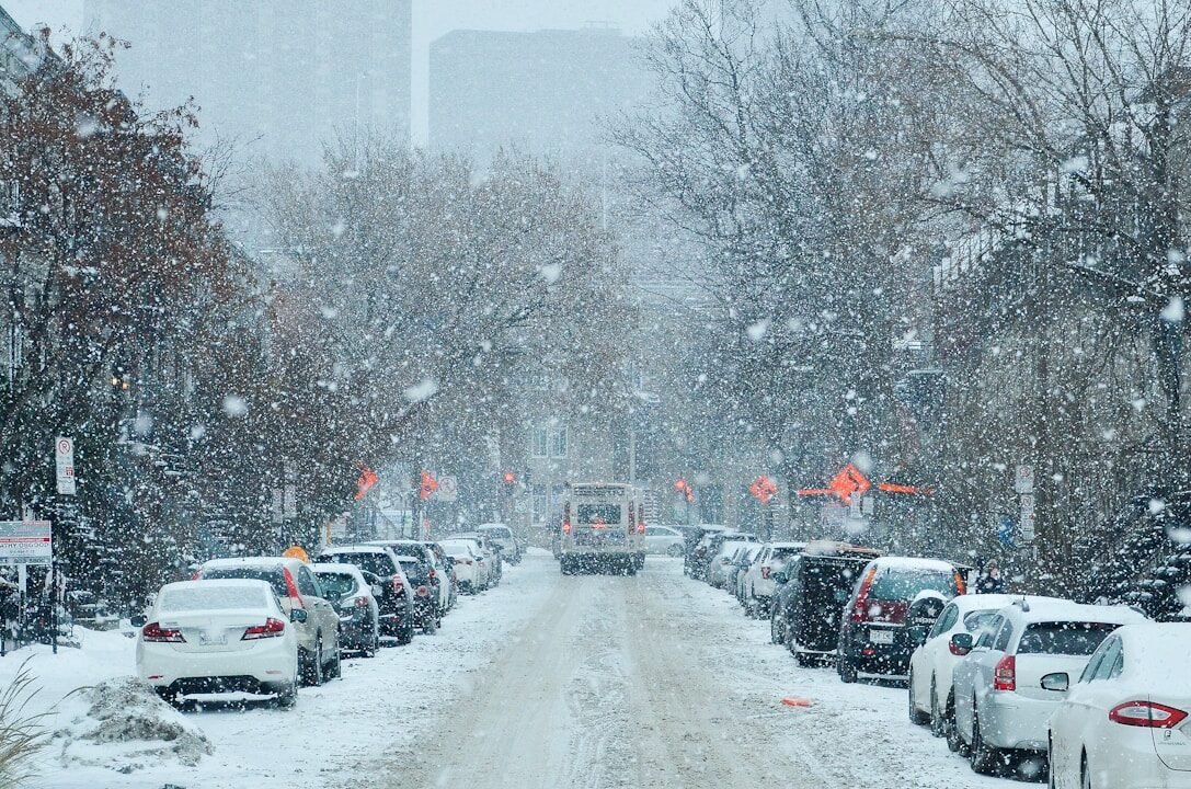
A typical El Niño winter tends to push the jet stream farther south across the United States. That can bring more storms and precipitation to the southern part of the country while leaving northern areas warmer and drier than average.
The pattern can also affect snowfall. Strong El Niño winters are generally associated with less snow across parts of the Northeast. At the same time, the Southeast and southern Plains can see more opportunities for snow, sleet, and freezing rain when temperatures are cold enough.
The South may see more precipitation
The southern tier of the country is one of the areas most likely to feel El Niño’s influence this winter. Increased precipitation can stretch from Southern California across the southern states and toward the East Coast.
The Southeast currently has some of the strongest probabilities for wetter-than-normal conditions. However, more precipitation does not necessarily mean more snow, since the outcome depends heavily on temperatures during individual storms.
The North could stay warmer
The early winter outlook points toward above-average temperatures across much of the northern United States. The warmest probabilities extend from the Pacific Northwest across the northern Plains and into the Midwest.
More than half of the Lower 48 could experience warmer-than-normal temperatures during December through February. El Niño is an important factor, but long-term warming caused by human-produced greenhouse gas emissions is also influencing the nation’s winter climate.
Severe storms remain a concern

El Niño can influence severe weather as well as temperature and precipitation. Severe thunderstorms normally become more active again along the Gulf Coast during late fall and early winter, and El Niño can alter where those storms are most likely to develop.
Florida could face an increased risk of severe thunderstorms during an El Niño winter. Other portions of the Gulf Coast can experience less severe weather than normal, showing how the same climate pattern can produce different effects from one region to another.
Snowfall trends add another layer
Even with a strong El Niño, winter snowfall will not follow a simple script. Temperatures, storm tracks, and local weather conditions will determine whether precipitation falls as snow, rain, sleet, or freezing rain.
A warming climate is also changing the background conditions for snowfall. Climate Central research cited in the source material found that annual snow amounts have declined across nearly two-thirds of the United States since 1970, adding another factor to this winter’s forecast.
The forecast is still evolving
The December 2026 through February 2027 outlook is already showing several patterns consistent with El Niño, but forecasters still have months to refine their predictions. Long-range forecasts can identify broad trends more reliably than individual storms or specific snowfall totals.
The strength of this El Niño makes it an important factor to watch, but a record-strength event would not automatically produce record-breaking weather everywhere. Instead, it changes the odds of certain patterns developing across different parts of the country.
What this could mean for Americans
For residents of the South, the early outlook points to a potentially wetter winter, while people across the northern tier could see warmer, drier conditions. The Southeast could experience more precipitation, while parts of the Northeast may have fewer opportunities for snow than during an average winter.
The biggest takeaway is that El Niño is only one piece of the puzzle. The eventual winter forecast will also depend on shorter-term atmospheric patterns and the influence of a warming climate.
TL;DR
- El Niño is rapidly strengthening and could become a Super El Niño by October.
- Forecasts cited in the source material give it nearly a 70% chance of becoming the strongest on record.
- The southern U.S. could see wetter-than-normal conditions this winter.
- Much of the northern United States could experience warmer temperatures.
- Strong El Niño winters are often associated with reduced snowfall in parts of the Northeast.
- The Southeast could face increased precipitation and some severe-weather risks.
- Long-term warming is another major factor shaping U.S. winter conditions.